OM B67
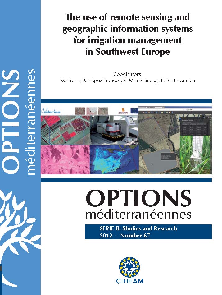
The use of remote sensing and geographic information systems for irrigation management in Southwest Europe
- [ Télécharger ]
- [ Exporter la citation ]
Vous pouvez télécharger la citation au format :
- [ Imprimer ]
Résumé
The loss of competitiveness and the abandonment of agricultural activities in many rural areas of Southwest Europe are worsened by problems related to water shortage and the rise in natural hazards such as droughts. Remote sensing and geographic information systems offer a huge potential to improve water management in agriculture, as they are able to provide a great amount of relatively cheap information, which can be automated, and processed and analysed for a wide range of agronomic, hydraulic and hydrological purposes. New developments in ICTs allow the products of those technologies to be easily available for end-users for practical applications. This publication is a result of the TELERIEG project (Use of remote sensing for irrigation practice recommendation and monitoring in the SUDOE space, SOE1/P2/E082, 2009-2011), co-financed by the Programme Interreg IVB-Sudoe of the EU-ERDF, with the participation of 9 beneficiary institutions from France, Portugal and Spain. The final target was to achieve a better environmental protection through more efficient and rational management of water resources in agriculture and a more effective prevention and response against natural risks. The project has generated a vigilance and recommendations system for vast areas. Specifically, data collection, information analysis and decision-making services were developed, based on geographical information systems (GIS) and remote sensing, allowing water users and managers to have timely information and a useful decision-making tool for irrigation water management. The chapters of this book were part of the learning and support materials prepared by the lecturers of the international course on “The use of remote sensing for irrigation management”, organised by the Mediterranean Agronomic Institute of Zaragoza in November 2011, with the aim of disseminating the knowledge and tools created by TELERIEG and by other initiatives in the field of the application of remote sensing to agricultural water management. The chapters collect information at different levels: generalities on remote sensing and the theoretical basis of its application to agriculture, methodologies for specific measurements and applications, and field experiences and case studies. The book is accompanied by a DVD containing additional materials which were used for the course, such as presentations, teaching practical materials (images and data), software practicals and the pdf version of the book chapters.The loss of competitiveness and the abandonment of agricultural activities in many rural areas of Southwest Europe are worsened by problems related to water shortage and the rise in natural hazards such as droughts. Remote sensing and geographic information systems offer a huge potential to improve water management in agriculture, as they are able to provide a great amount of relatively cheap information, which can be automated, and processed and analysed for a wide range of agronomic, hydraulic and hydrological purposes. New developments in ICTs allow the products of those technologies to be easily available for end-users for practical applications. This publication is a result of the TELERIEG project (Use of remote sensing for irrigation practice recommendation and monitoring in the SUDOE space, SOE1/P2/E082, 2009-2011), co-financed by the Programme Interreg IVB-Sudoe of the EU-ERDF, with the participation of 9 beneficiary institutions from France, Portugal and Spain. The final target was to achieve a better environmental protection through more efficient and rational management of water resources in agriculture and a more effective prevention and response against natural risks. The project has generated a vigilance and recommendations system for vast areas. Specifically, data collection, information analysis and decision-making services were developed, based on geographical information systems (GIS) and remote sensing, allowing water users and managers to have timely information and a useful decision-making tool for irrigation water management. The chapters of this book were part of the learning and support materials prepared by the lecturers of the international course on “The use of remote sensing for irrigation management”, organised by the Mediterranean Agronomic Institute of Zaragoza in November 2011, with the aim of disseminating the knowledge and tools created by TELERIEG and by other initiatives in the field of the application of remote sensing to agricultural water management. The chapters collect information at different levels: generalities on remote sensing and the theoretical basis of its application to agriculture, methodologies for specific measurements and applications, and field experiences and case studies. The book is accompanied by a DVD containing additional materials which were used for the course, such as presentations, teaching practical materials (images and data), software practicals and the pdf version of the book chapters.


